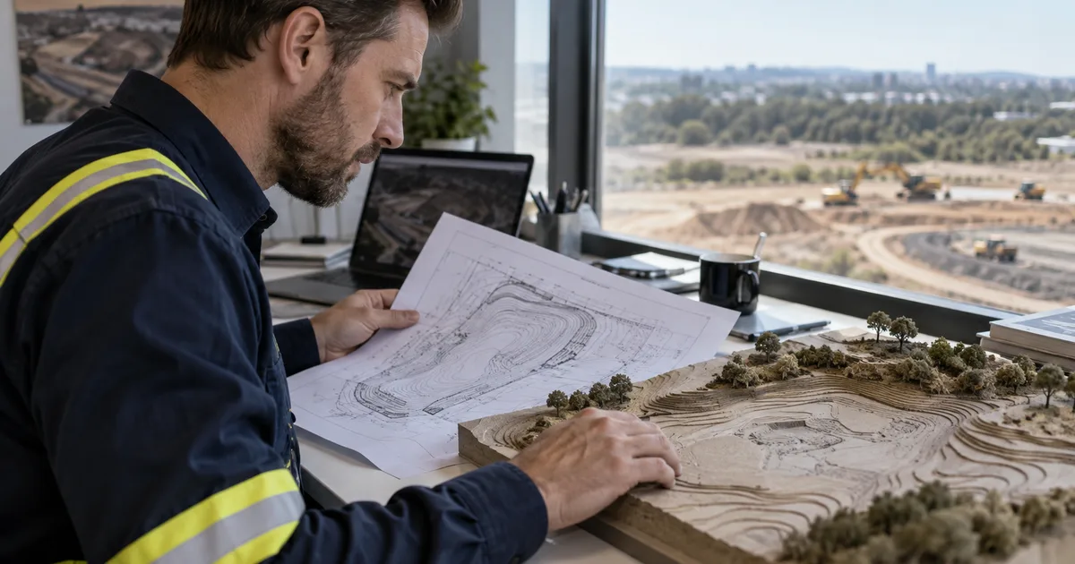
Guides Earthworks takeoff
Guides · SitesAI EstimateEarthworks takeoff and cut and fill
Everything about pricing the dirt — getting volumes out of a plan, what to check before you trust them, and how a takeoff becomes a quote.
An earthworks takeoff answers one question: how much material comes out, how much goes back in, and what does moving it cost. Everything else is detail. These guides work through that in the order the job does.
Start with the plan. A PDF has no idea how big it is, so the first job is always calibration — two points a known distance apart, and the sheet is in metres. A DWG or DXF carries its own units and often its own levels, which skips a step. Either way you need existing levels from somewhere: contours, spot heights, or a survey.
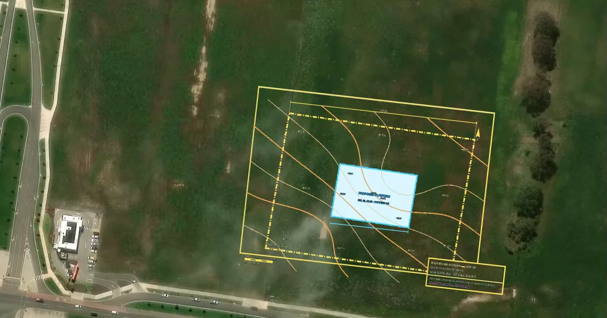
Then the surfaces. Cut and fill is the difference between an existing ground surface and a design surface inside a boundary. Getting that boundary and those two surfaces right is most of the accuracy. A 3D view is the fastest way to catch a level typed in as 4.5 when the plan says 45.
Then the price. Geometric volumes are not priced volumes. Bulking, compaction, haul distance and what you do with the surplus are separate lines with their own rates, and they are where the margin lives.
Every guide below is written against SitesAI Estimate, which does this in a browser. The steps are the same whatever you use.
New feature
AI connectors
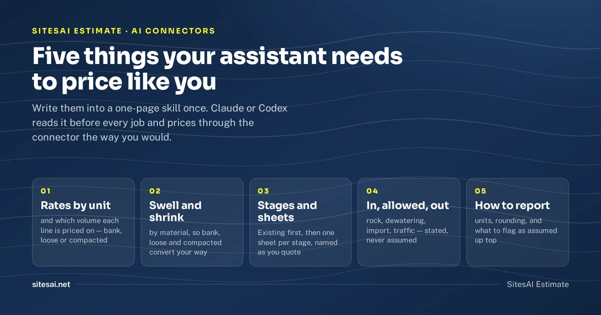 SitesAI Estimate · AI connectors
Teach Claude or Codex to price jobs your way
Put your rates, bulking factors and stage names in a skill once, so Claude or Codex prices every job your way through the SitesAI Estimate connector.
 SitesAI Estimate · AI connectors
Run your earthworks takeoff from Claude or ChatGPT
SitesAI Estimate has an MCP connector. Ask an AI assistant to open a plan, set the scale, draw the takeoff and price the estimate — while you watch and approve.
How-to
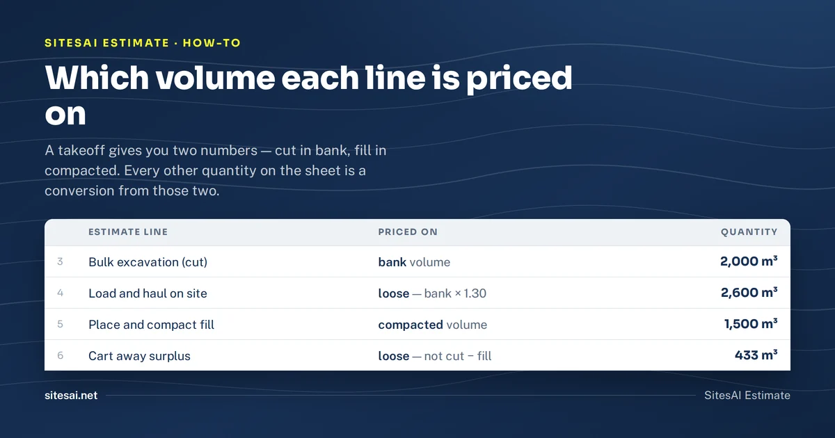 SitesAI Estimate · How-to
Earthworks estimate in Excel — strip, cut, fill, haul, compaction
The lines an excavation estimate in Excel needs, which volume each line is priced on, and how to keep the quantities tied to the takeoff.
 SitesAI Estimate · How-to
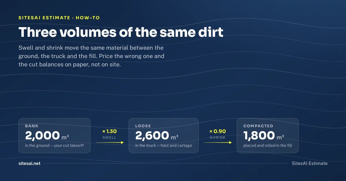
Soil bulking and shrinkage factors — a working table
Typical swell and shrink factors for clay, sand, gravel, topsoil and rock, and how to apply them to cut, fill and cartage.
 SitesAI Estimate · How-to
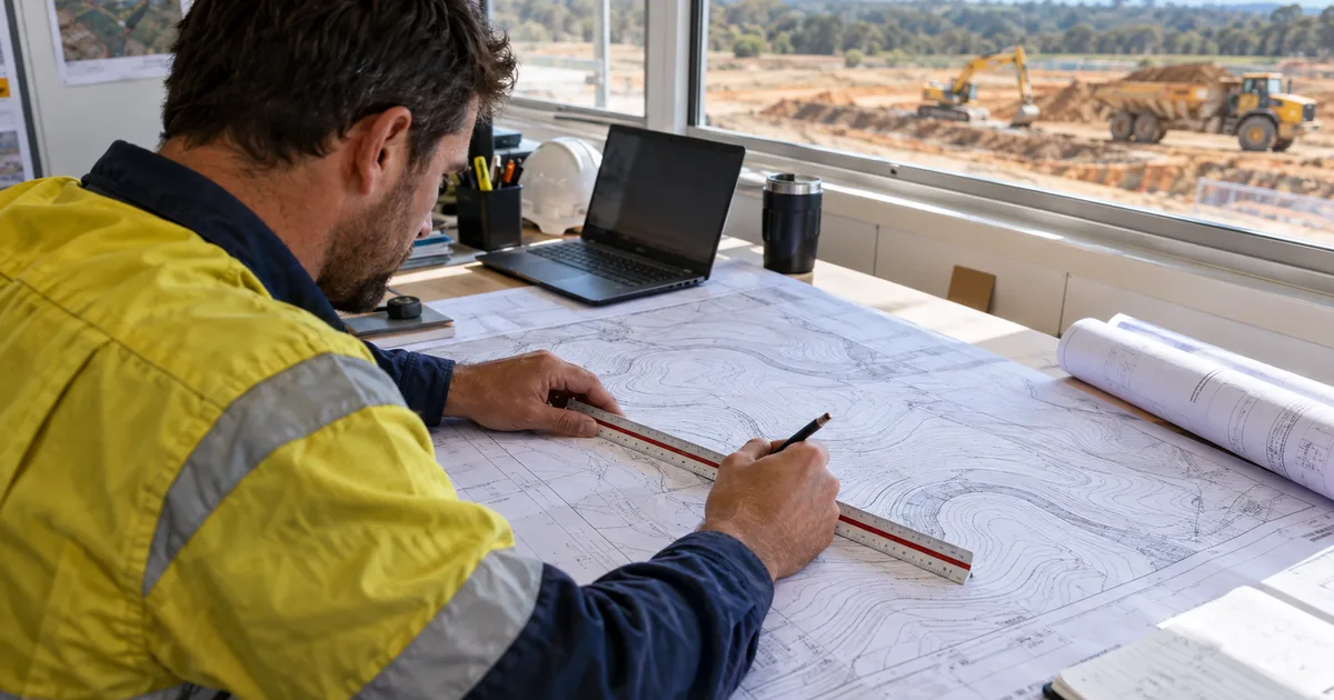
How to calibrate a PDF site plan so the quantities are right
Scale bars lie. How to calibrate a PDF or scanned plan, check it with a second dimension, and spot the reissue that was printed at the wrong size.
 SitesAI Estimate · How-to
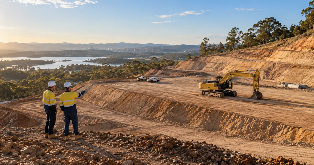
Cut and fill from a PDF plan in about ten minutes
Step by step: get cut and fill volumes from a PDF site plan in SitesAI Estimate — scale, boundary, existing and design levels, a 3D check, then export.